
Overview of Remote Sensing
Remote sensing is a collecting information about a place or an object without physical touch using satellite or drone activities. This information is derived from images captured by Earth satellites.
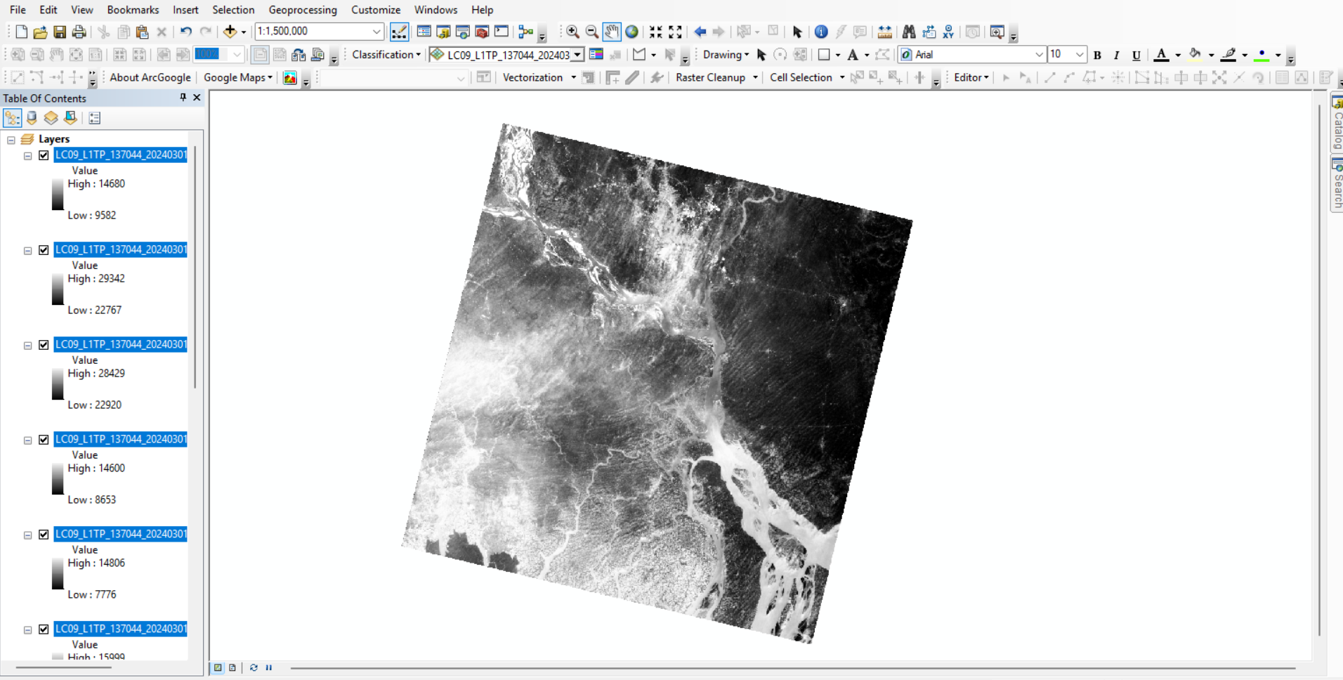
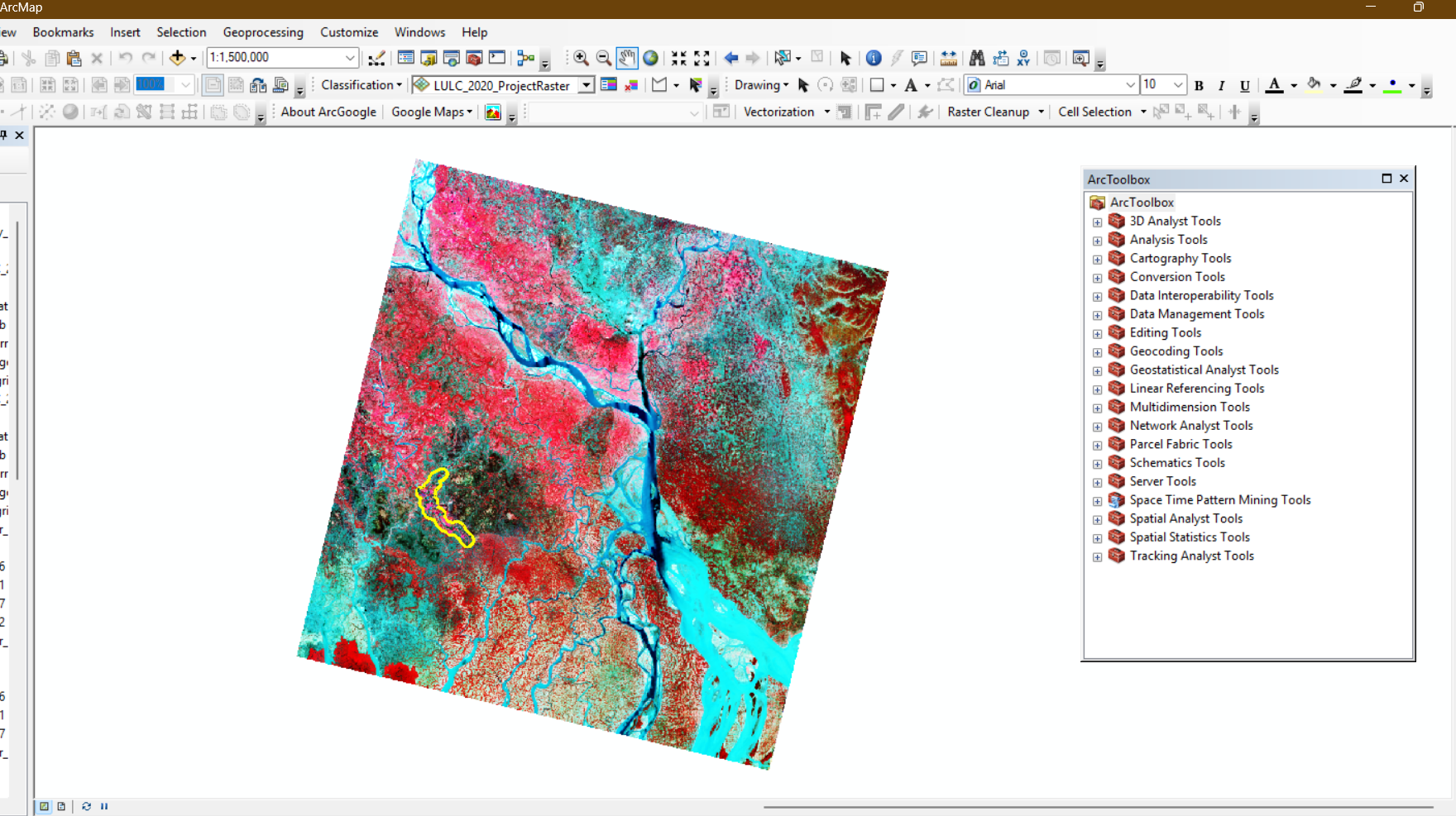
Remote sensing is a kind of collecting information about a place or an object without physical touch using satellite or drone activities. This information is taken from pictures from Earth satellites. Firstly, satellites send a signal to the Earth's surface. After receiving the signal, it is turned into images or data. There are many platforms where data is extracted, such as USGS, Google Earth Engine, NASA Earth Data, and Google Earth Pro.
The Landsat series of remote sensing satellites is operated by the Earth Resources
Observation and Science (EROS) Center under the United States Geological Survey
(USGS). USGS, which provides Landsat data, basically 30 m resolution. On the other hand, GEE (Google Earth Engine) gives 10m resolution. USGS launched the first satellite in 1972, which is known as Landsat 1, and its boundary was from 1972 to 1078. Nowadays, most of the cases or research purposes use Landsat 5,8 or 9 are used. Landsat 5, which varied from 1284 to 2013. Subsequently, the most used image is Landsat 8 due to its latest update starting from 2013. Landsat 9 was built based on following Landsat 8’s design. This is a slightly updated version of Landsat 8. However, it covers from 2021. It captures high-quality land images better than Landsat 8 and also uses the TIRS-2 (Thermal Infrared Sensor-2) sensor, which measures surface temperature. There are not many differences between Landsat 8 and 9. Ith has improved accuracy and reduced noise. Most of the image has cloud cover under 10%.
Landsat has four multispectral sensors.
1) TM Sensor (Thematic Mapper)
2) ETM+ Sensor (Enhanced Thematic Mapper Plus)
3) OLI Sensor (Operational Land Imager)
4) TIRS (Thermal Infrared Sensor)
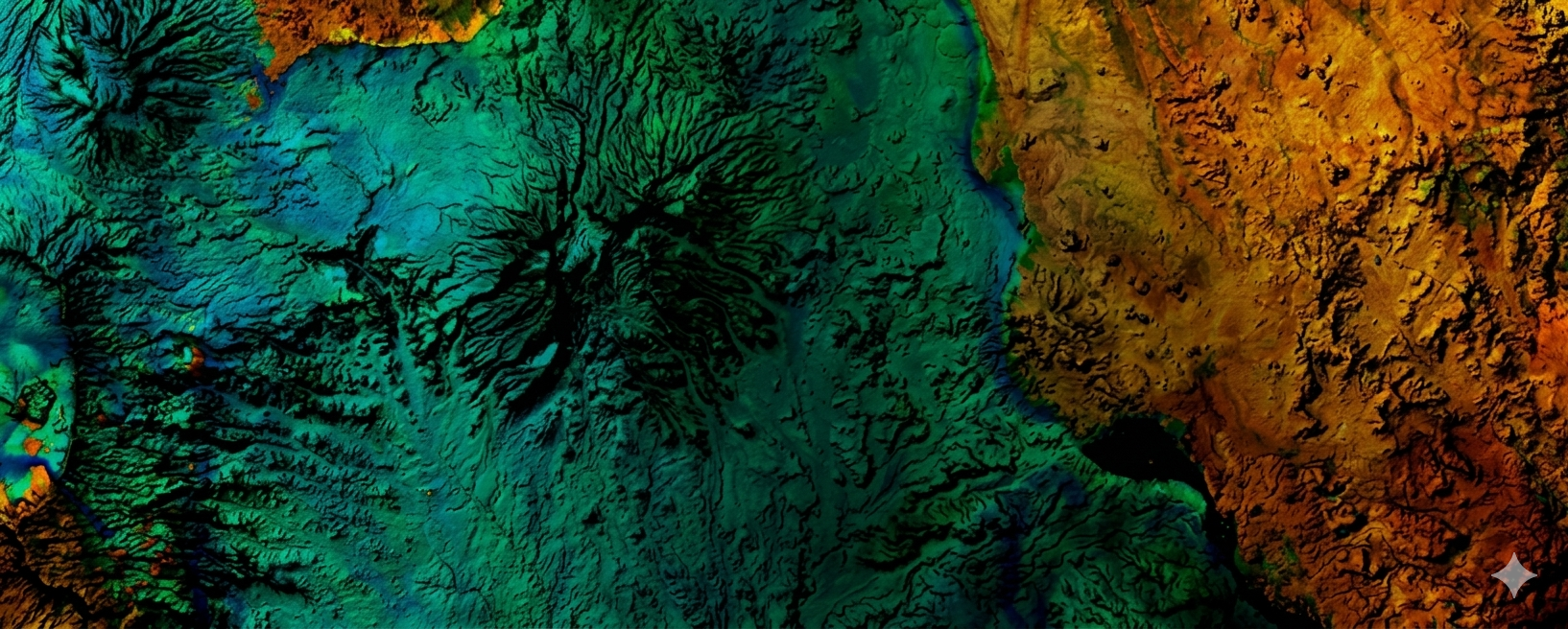
Remote sensing works by using sensors that detect visible, near-infrared, and short-wave infrared radiation. This radiation reflects from the Earth's surface to create images. Different materials or places or infrastructure create different wavelengths. Some places or materials absorb radiation, so they create unique wavelengths. This radiation also considers materials' texture, size, shape, and pattern as well as their surrounding context too.
Remote sensing is widely used in different fields of the Earth's surface without physical contact. It plays a vital role in weather forecasting, climate analysis, and land use/land cover data by tracking weather conditions, storms, infrastructure, etc. Also helps to get digital elevation data. In addition, it is also useful in disaster management, such as detecting floods and cyclones as well as assessing damage after a disaster.
Author: Md Shariful Islam Shuvo, Bangladesh
Email: shariful.islam.shuvo25@gmail.com